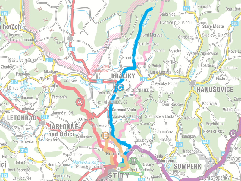
Choose trail:
We set out by car from Štíty on Road No. 43 to Králíky and then by Road No. 312 to the village of Dolní
Morava. After leaving the car in the parking lot "Na Konečné" at Vilemína Lodge we set off on the yellow
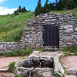
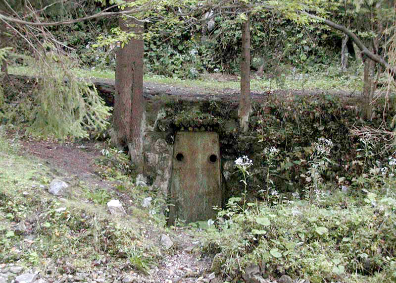
hiking trail. After 4.3 km we arrive at Pod Vilemínkou, where the karst cave called "Tvarožné díry" is located.
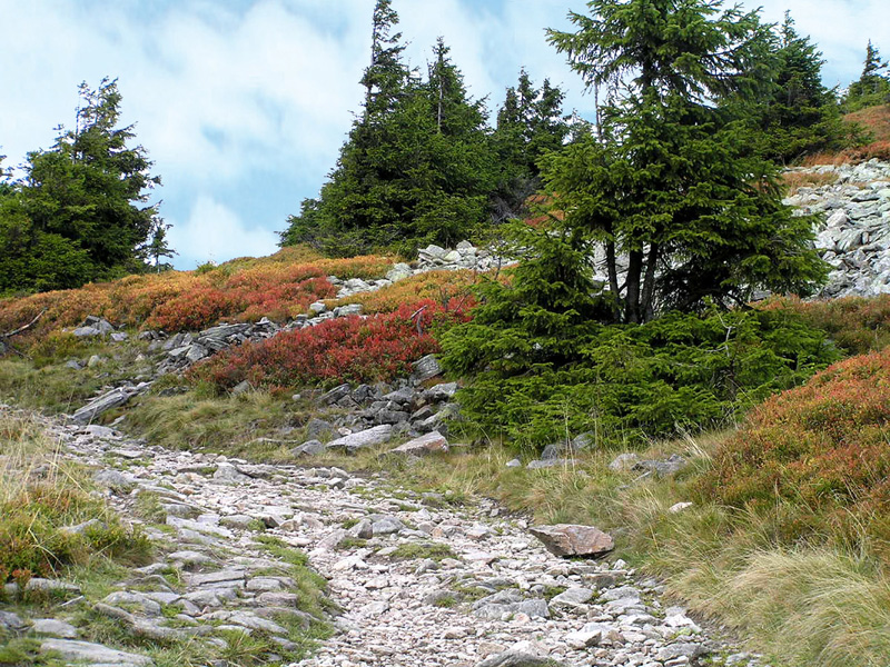
We continue along the yellow trail. After 6.3 km we reach a spot called Ve Strži, through which the
Morava flows. We climb past František's Lodge and Sněžná Lodge up to the crossroads of the yellow and
red trails and the mountain service station – H. S. Franciska (1,220 metres above sea level). At the peak of
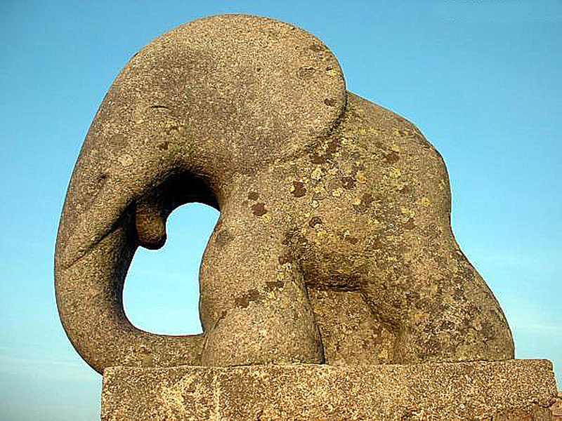
Kralický Sněžník we continue past the statue of a small elephant that stands on the foundation of a demolished
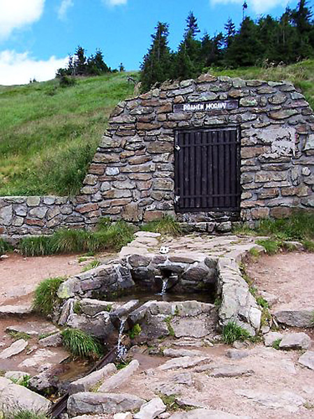
cottage. The source of the Morava River is found at the altitude of 1,390 metres above sea level on the
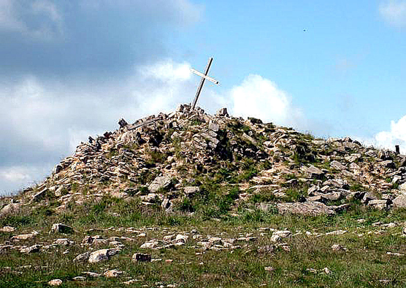
southern slope of Kralický Sněžník. At the summit we find remains of a stone observation tower dating
to 1899, and from this spot there are fantastic views of the Orlické Mountains, the Rychlebské Mountains,
the Staré Město Region, and the Hrubý Jeseník Mountains. When the visibility is good even Olomouc,
the Krkonoše Mountains, and the Beskydy Mountains can be seen. A little ways on stands a sign warning
that the country border is here, and that the border crossing (hikers require passports) is open Saturday
and Sunday from 8:00 to 20:00. If you continue along the green trail it will take you to a Polish lodge below
Sněžník (approximately 1.5 km). The stone marker designates the historical border of the Bohemian
kingdom, the Moravian margraviate, and the Kladsko earldom. We descend from the summit of Kralický
Sněžník on the red trail to Zbojnická Lodge. Continue along this trail through the thick spruce forest. After
about 4 kilometres we reach a spot called Pod Sršňovkou where we join the blue hiking trail; this trail will
lead us to the parking lot Pod Klepáčem, and we continue another 3 km to the parking lot at Vilemína
Lodge, where we left our car.
Extra tip
STONE OBSERVATION TOWER FROM 1899
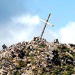
The stone observation tower was destroyed
by Polish sappers in 1973. Today the pile of
stones gives the impression of being part of
the mountain peak.
ADDITIONAL TIPS ON TRIPS ALONG THE TRAIL
RIVER SOURCES
The source of the Morava River is found at the altitude
of 1,390 metres above sea level on the southern
slope of Kralický Sněžník. An interesting fact is that
the sources of three rivers that flow to three different
seas are located on Kralický Sněžník. Lipkovský Brook
(tributary of the Tichá Orlice River) to the North Sea,
the Morava River to the Black Sea, and the Kladská
Nisa River to the Baltic Sea. This is why Kralický
Sněžník is called the "Rooftop of Europe."
STATUE OF SMALL ELEPHANT
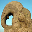
While over time the statue of the elephant has become
a type of symbol for Kralický Sněžník, there is very little
material documenting the history of its existence.
It was likely built here in 1932 as the symbol of young
artists and writers from Šumperk that met here and
tried to bring Czechs and Germans together through
culture.
TVAROŽNÉ DÍRY
The caves are 240 metres long and are situated at an
altitude of 840-842 metres above sea level. The average
temperature here is around 5° C. Since 1968 speleological
research has kept the caves closed to the general
public.
View map
Length of the hiking trail: 21 km
Maximum altitude: 1,423 metres above sea level
Minimum altitude: 670 meters above sea level
Overall climb: 753 m
Approximate time of hike: 8 hours
TRAIL ITINERARY
Morning:
Breakfast
9:00 Departure
9:40 Arrival at parking lot to Dolní Morava
9:50 Start of climb up Králický Sněžník
Afternoon:
16.30 Arrival at parking lot in Dolní Morava
17.00 Dinner, for example at the restaurant Čertovka
in Dolní Orlice
Evening:
19.30 Arrival at pension in Štíty
