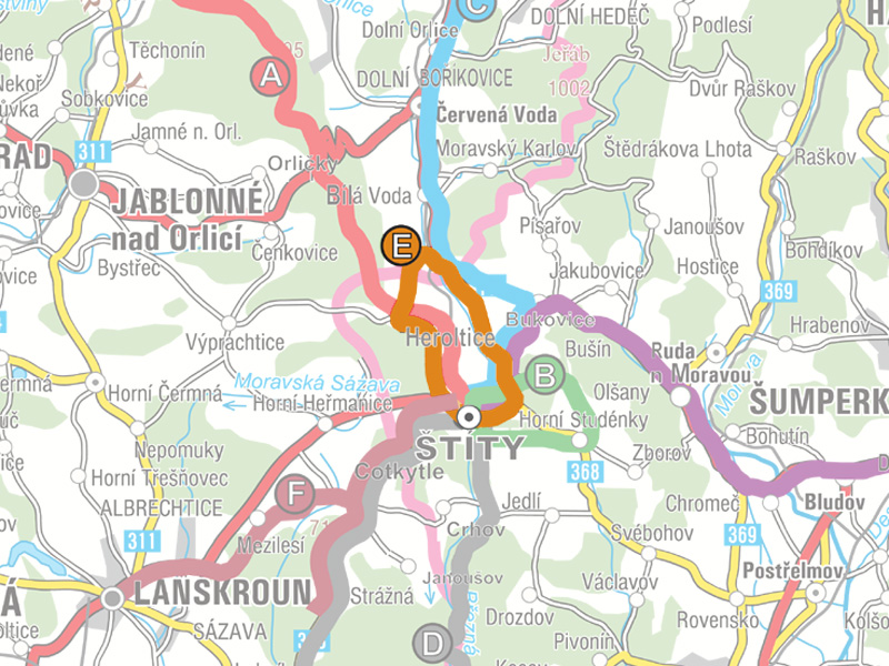
Choose trail:
Extra tip
BŘEZNÁ NATURAL PARK
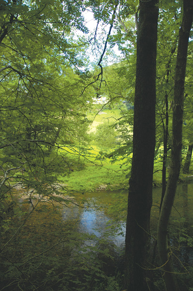
The mission of Březná Natural Park is to preserve the landscape character typical for this part of the Zborovské Highlands, formed by flat and gently rolling upland areas, as well as a system of deep carved valleys, Březná Stream and the Moravská Sázava River, forests in many locations with natural species compositions, the characteristic culture of agricultural and regional plants, and with suitable conditions for recreation and the further coordinated and ecological development of settlements and the surrounding landscape. The area holds specially protected flora and fauna that have an irreplaceable importance for preserving species diversity; the area also contains important geologic, geomorphologic, and palaeontologic sites.
The Březná Natural Park is composed of the regional parts: Hoštejn, Hynčina, Lupěné, Hněvkov, Václavov, Pivonín, Svébohov, Nemile, Zábřeh, Rovensko, Postřelmůvek, Vyšehoří, Klášterec, Olšany, Zborov, Bušín, Jakubovice, Písařov, Bukovice, Březná, Březenský Dvůr, Štíty, Crhov, Jedlí, Horní Studénky, Drozdov, and Kosov.
ADDITIONAL TIPS ON TRIPS ALONG THE TRAIL
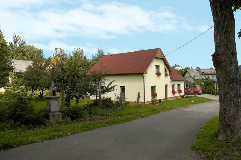
BŘEZNÁ
With a population of 250, the village is situated in the Březná Stream Valley at an altitude of 443 metres above sea level, immediately next to Štíty. On a ride through this village we can see several types of rare birds, for example, crake, marsh harrier, or the northern lapwing. Hazel grouse are also found in the forests.
HEROLTICE
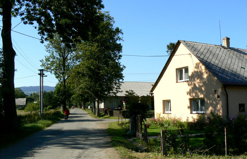
The village is located on the former regional border between Moravia and Bohemia at the relatively substantial altitude of 460 to 750 metres above sea level on the eastern slopes of the Orlické Mountain projection that runs from Suchý vrch to Lázek. Heroltice has 106 permanent residents, and the village predominantly contains cottages and well-preserved and renovated old homes. One of these, House No. 158, is a cultural monument. The area is popular in the winter due to the numerous cross-country skiing trails, downhill skiing slopes, and a large accommodation capacity. Heroltice is part of the Kralický Sněžník Bird Territory thanks to the existence of crake. If we turn right at the crossroads leading from Heroltice to Štíty we will reach a truly pleasant, cosy pub with a good selection of drinks and quick meals.
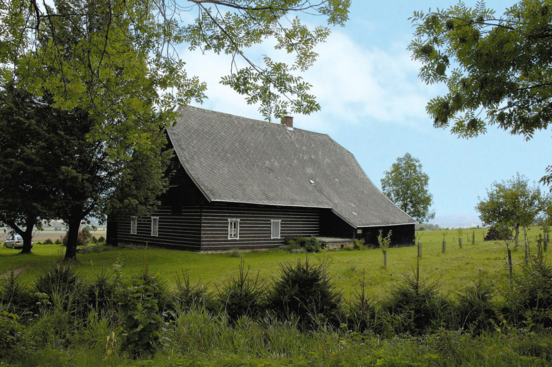
MLÝNICKÝ DVŮR
A sundial created in 1968 is set on the dilapidated building of the former mill (No. 20).
